


How we plan our flights
Before any flight, we make sure to compile a comprehensive flight plan. This includes monitoring the weather, planning a flight path and electronically logging our plan.
- When planning our flight, we need to monitor the weather forecast. The operator needs clear line of sight of the drone, so we need to plan our flights for a clear day. Similarly, we wouldn’t want to fly it when it’s raining or if it’s too cold or too hot, as adverse weather can damage the hardware, not to mention the quality of the image.
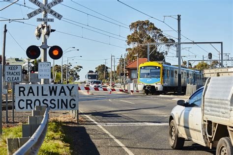
- Before flying, we inspect the area. In accordance with aviation legislation, there are several rules about where we can fly, and where we can’t. Rules include:
- Not flying over people in populous areas or in private areas, such as backyards
- Not flying higher than 120 metres off the ground
- Always flying at least 30 metres away from other people
- Always flying within eyesight of the pilot
- Not flying in any way that could cause a hazard to people, property or other aircrafts
- Next, we log our flight plan into an electronic system built by the FSC team.
Why we use drones
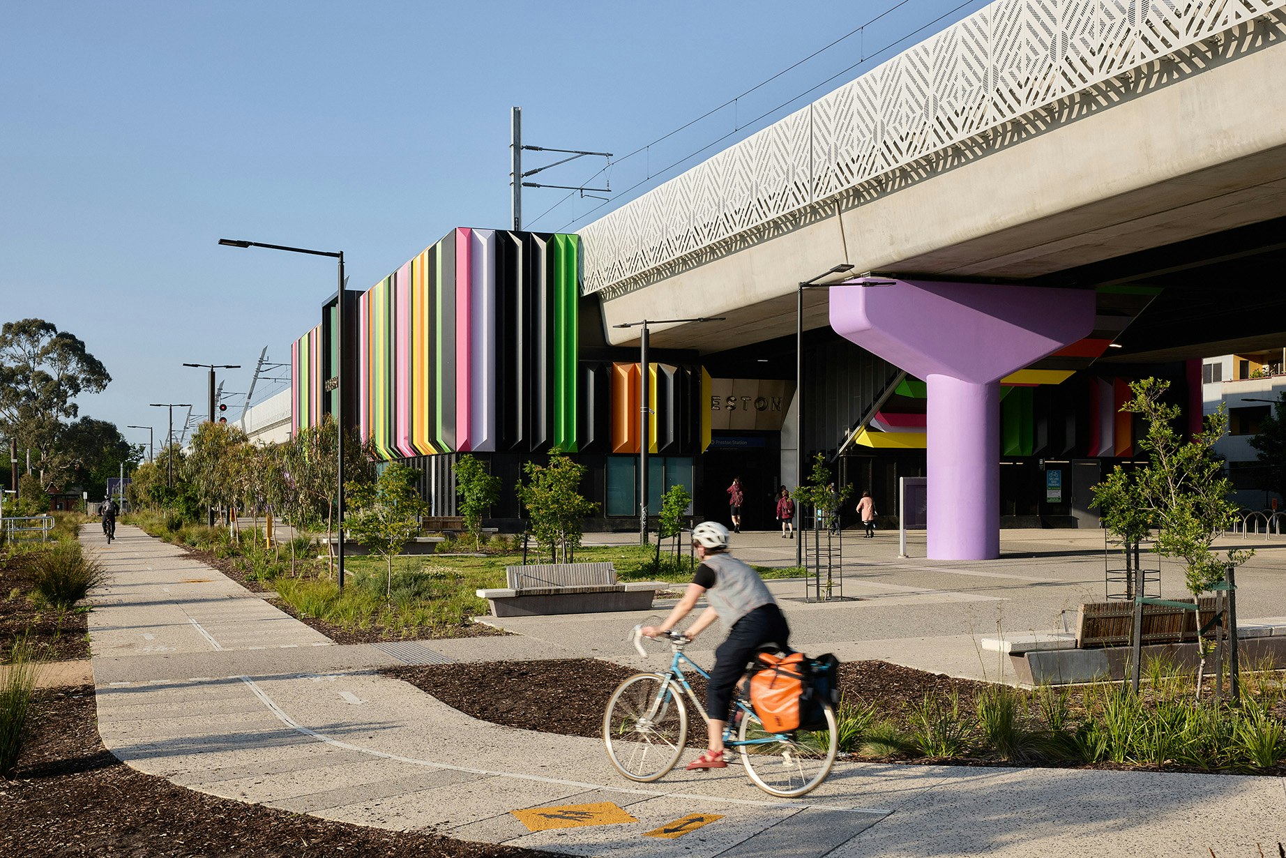
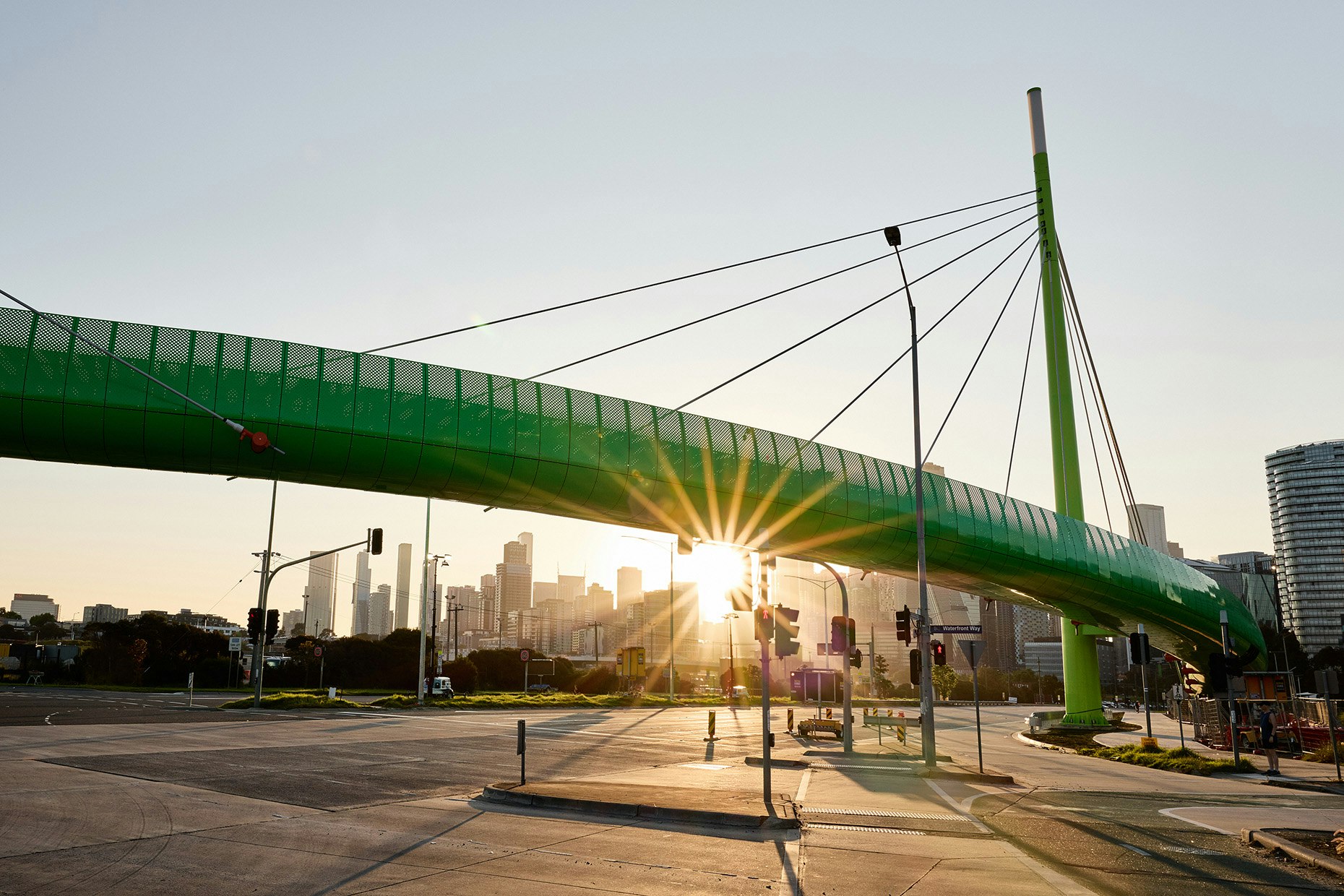
FSC Range is committed to using drone footage for all the projects that we manage. While for some firms, drone footage is a nice-to-have, for FSC Range, it’s standard procedure. We use drone technology because we’re committed to finding new and better ways to visualise what we’re building.
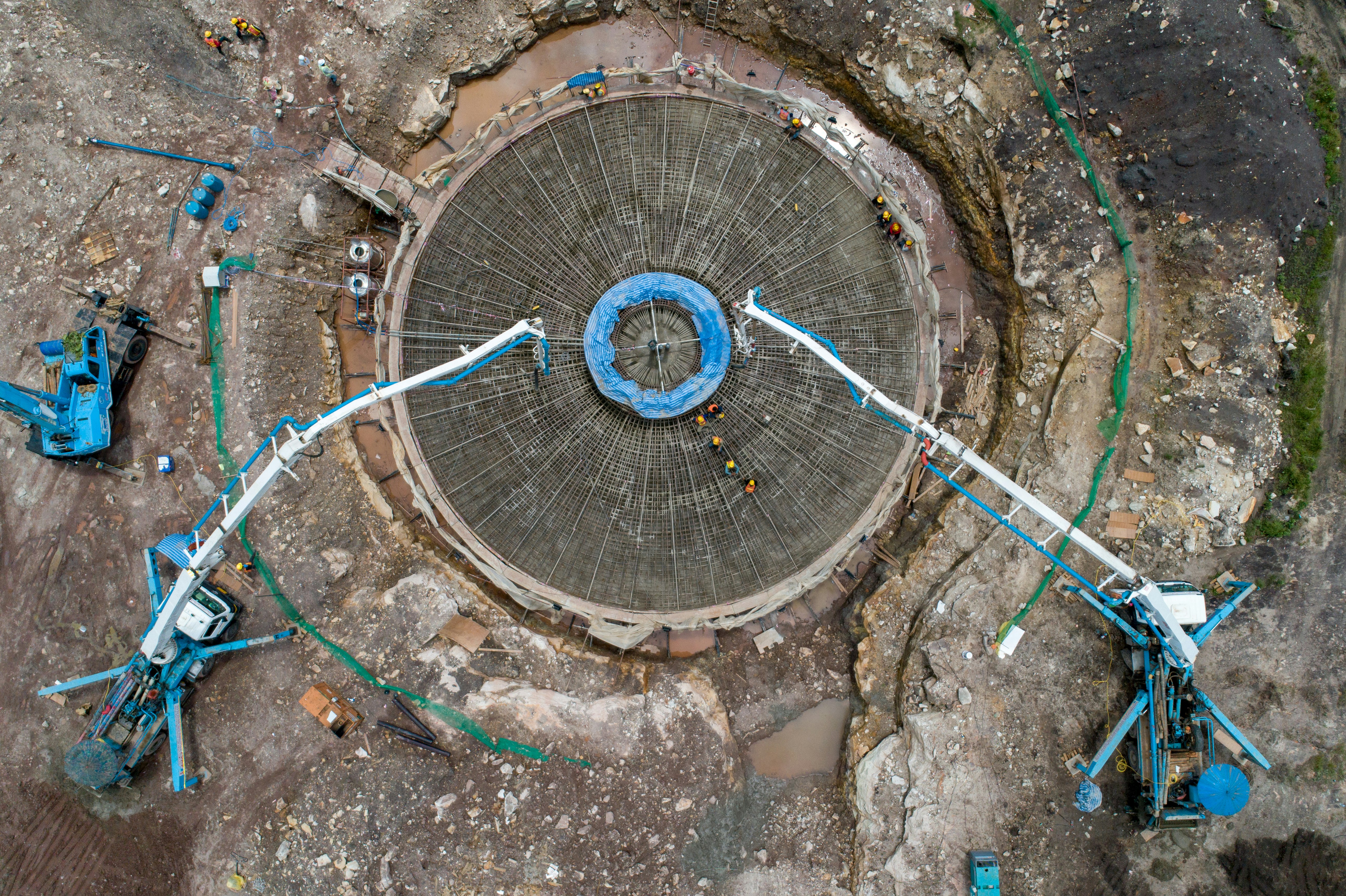
All of FSC use the high-resolution and up to date orthoimagery (think Google Earth or Nearmaps) and point clouds to plan and coordinate projects with high precision.
Drones enable us to collect accurate survey data for 3D modelling. The flight path is programmed into the drone and as it flies and takes photos, it pins these photos to ground control points placed throughout the site. This provides us with a reference for where these points are in time and space, enabling us to pull together a model with the collected data.
But we also use the drone for collecting marketing footage for our clients. When doing this, our professional photographer flies the drone manually for better control. We do this to collect footage on the progress of our builds, or to get a bird’s eye view on the finished project.
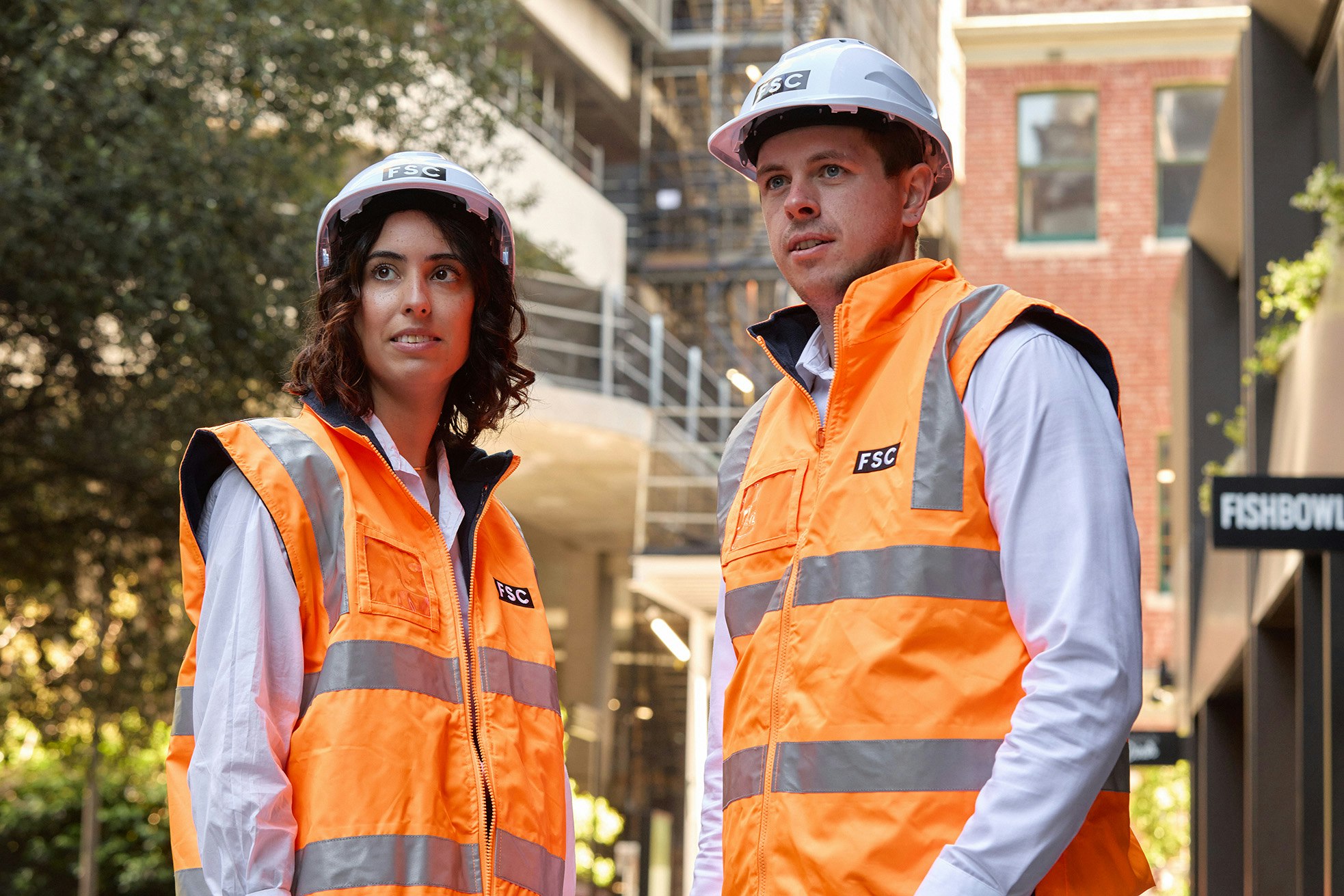
Meet our drone technicians
Matt Powers is our chief pilot. He’s a qualified engineer, working in project delivery, and is also skilled in 3D modelling. When using drones on construction sites, he’s always accompanied by a spotter, so Matt can focus on flying without worrying about his safety.
For marketing footage, and to ensure we get high-quality source imagery for our models, we work with drone photographer Jarrod Barnes. Jarrod is not only a professional photographer, but also has a background in infrastructure, and knows how construction sites operate.
If you’re interested in learning more the technology we use, get in touch.